Reconstructing London on the eve of the Great Fire: A Historic Towns Trust talk
Published: 15th March 2022

Joe Saunders
BALH Joint Vice-Chair & Head of Outreach
@joe_saunders1
Joe is a familiar face as the host of BALH’s popular monthly webinar series Local History Hour. He is a Trustee of BALH, joint Vice-Chair and head of the Outreach team. Away from BALH, Joe is working towards is PhD, while as a family historian, he undertakes genealogical research and is an Associate of the professional genealogy body AGRA.
BALH’s March partnership with the Historic Towns Trust is delivering four lectures on a range of topics by speakers from the Trust. The first in this series, ‘Reconstructing London on the eve of the Great Fire’ was given by Professor Vanessa Harding.
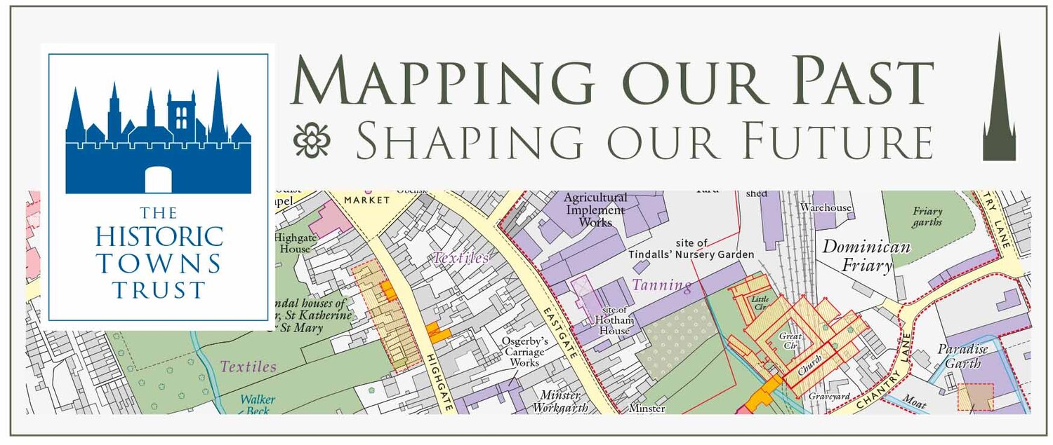
The evening and the series opened with an introduction from Professor Caroline Barron, something she is uniquely well-placed to do as both President of BALH and a Trustee of HTT. Together, these organisations represent close to a century working to advance Britain’s local history. Indeed, at the end of her talk Professor Harding noted the similarities between BALH and HTT in our mutual appreciation of the value of collaboration. This is of course exemplified in the current venture between our two organisations.
The topic of Vanessa’s talk was the present task of HTT to create a map of London as it existed on the eve of the Great Fire of 1666. This endeavour advances from the map that the Trust have already produced of Tudor London shortly before the Reformation. In the intervening century and a half the city underwent phenomenal physical change through Reformation, immigration, the growth of the suburbs and burgeoning wealth of the mercantile class. This current project aims to map the result of these changes before the great rebuilding post-1666, a moment which often marks a watershed in histories of the city.
As Vanessa outlined, local historians all exist within the built environment of the past. Although much has been lost our research can recreate vanished townscapes. It is this work that the Trust strives toward through mapping. A key objective of their work is comparability to the modern day. With a HTT map you can appreciate the urban environment around you as a palimpsest, undergoing reuse and alteration while still bearing traces of earlier forms. This has been achieved for several British towns including recently for Oxford, Canterbury, Coventry, and Alnwick & Alnmouth.
The Trust’s approach begins with a nineteenth or early twentieth century OS map providing a digital base over which the historic elements can be overlaid. Next, information is collated from a wide variety of sources. For London there is a wealth of information post-Fire though this must be used with caution due to the changes that occurred during rebuilding. Foremost in the HTT toolbox for London are cartographic surveys such as Ogilby and Morgan’s of 1676 and Morgan’s of 1682. As with all maps, each have different virtues in their varying scope and scale. Pre-Fire there are fewer available resources though there are some such as Faithorne and Newcourt’s 1658 map. In addition are pictorial depictions such as Wensceslaus Hollar’s work which although published after the Fire is drawn on observations from the 1650s.
Then comes the detailed work to bring all these pieces together, to fit them to the right scale (a useable 1:2,500 (about 25 inches to the mile)). This is difficult for a period where maps were approximations rather than absolute plans. There are even instances where maps show features that had already disappeared or had been planned but were never actually built. Many of these issues stand for problems we all have as local historians about making sense of our varied and sometimes contradictory pieces of information, following a process of systematic finding and analysis while developing an output that is intelligible to our audiences.
Vanessa made the important point that it is easy to present the history of London as exceptional. It is true that the city was wealthier, bigger, more diverse and politically weightier than other places in England during the early modern period. There is however much common ground with other localities and their histories in our approach, sources and questions asked. She also noted that many towns in fact have much more surviving historical fabric than London. A problem noted by others and by Vanessa elsewhere is that London is in many ways too big and unwieldy for historians to handle. The profusion of sources being employed for this project alone demonstrates the truth in this.
There are therefore many similarities between other towns and the Trust’s current London project but the city also has special conditions, not least because of the Fire. As Vanessa set out, this offers both problems and solutions. Although so much of the city had been destroyed there was never serious consideration given to mass rebuilding (such as on a grid) which would not account for ownership and topography. Streets were largely kept the same with some exceptions for additions, widening and better landing places on the river. Indeed, following the Fire surveys were conducted to establish building foundations. Owners paid for surveys and many transcripts of the original plans have survived. These can be used to recreate a ‘jigsaw’ of the city.
Another key part of this project is to understand the qualities of places through the creation of a street directory. The names of most are known but many of the smaller streets weren’t included on contemporary maps while some had alternative names. Alleys and courts had names and forms that were particularly fleeting and changeable. A standardised name form will have to be chosen for each place. While a version of this directory will be printed there will also be an online version which can be updated after publication.
The range of sources being employed on this project is significant and includes more than mapping elements. Hearth Tax returns are especially important, and we are fortunate to have good survivals from 1662-6 for much of London including the metropolis and not just the old city. Also considered are the writings of diarists such as Pepys and antiquarians like Stow. For other towns and cities wills can often be used although the population of London makes this unfeasible.
Toward the end of the Trust’s mapping process are decisions over what to include on the final form. A key consideration is continuity from the Tudor map of 1520, to chart the changes from this point. Churches are just one example of choices that have to be made regarding eventual depiction. We heard about the detailed process of gathering information, enabled by the large amount of material on them and their shared characteristics. This is an even more difficult task for more unique and less-documented buildings.
Altogether, this talk was a fascinating insight into both the work of the Historic Towns Trust and of the mapping of early modern London. We were left with a sense of the momentous task that HTT take on when approaching any project and how this particular map is going to be a significant achievement of their time and energies. All historians interested in sixteenth and seventeenth century London are going to find it an invaluable tool. It no doubt will strike the balance that the Trust aims for in all its maps, to be both scholarly and accurate in one sense while being visually appealing and useable in the other.
Further resources:
The publications of the Historic Towns Trust can be purchased from all good retailers and are listed on their website: Welcome to the Historic Towns Trust and the British Historic Towns Atlas | Historic Towns Atlas
The Historic Towns Trust Tudor London map is also available to view online as part of the ‘Layers of London’ project: Tudor London (c.1520) | Layers of London
During her talk Vanessa paid tribute to the wealth of sources published by the London Topographical Society (londontopsoc.org) which make this current project possible. Some of which are listed below:
- London – A History in Maps (2012) by Peter Barber with notes on the engravers by Laurence Worms, edited by Roger Cline and Ann Saunders.
- The London Surveys of Ralph Treswell (1987) ed. by John Schofield, illustrated with all of Treswell’s London plans.
- London Bridge and its Houses, c.1209-1761 (2019) by Dorian Gerhold, edited by Sheila O’Connell.
- London: Prints & Drawings before 1800 (2017) by Bernard Nurse.
- The A to Z of Charles II’s London, 1682 (2013) with introductory notes by Peter Barber and Ralph Hyde; an index compiled by Robert Thompson, edited by Ann Saunders.
- The A to Z of Elizabethan London (1972) compiled by Adrian Prockter and Robert Taylor with introductory notes by John Fisher. Published concurrently by the Society and by Harry Margary in association with Guildhall Library.
- London Plotted: Plans of London Buildings c.1450-1720 (2016) by Dorian Gerhold, edited by Sheila O’Connell.
You may also be interested to view the excellent Map of Early Modern London: MoEML: The Agas Map (uvic.ca)
There are many images of interest on the London Picture Archive website: London Picture Archive
The views and opinions expressed in this blog are those of the author and do not necessarily reflect the official policy or position of the British Association for Local History (BALH). Any content provided by our contributors is of their own opinion and is not intended to malign any individual, group, organisation, or entity.